Prepping for the Porkies

This week, my sister, Alison, and I are preparing to walk about 26 miles of some of the most beautiful and remote wilderness Michigan has to offer. We’re buying food and stuffing packs and gassing up cars.

Our path will take us up and down gentle mountains, along and across two rivers, past seven waterfalls, along the shore of the largest freshwater lake in the world, beneath old growth forests, and past abandoned copper mines. We will sleep the shortest nights of the year (just seven hours from twilight to twilight) to the sound of running water and waves and wind. We will be off the grid the entire time.

We will pay for this privilege with sore muscles and dirty hair.

Such a small price for utter bliss.


3 Waterfalls, 2 States, 1 Big Spring…and the End of the Road

As I mentioned in the last post, no matter the time zone, we woke up early after camping in the Porcupine Mountains. Superior was calm and blue and the day ahead was largely going to be spent in the car.

But first, I had a couple nearby waterfalls to check off my list.

We drove not far from our campsite, parked, and headed down a short trail in the woods.

The sun filtered through the thick canopy of green. The temperature was crisp. It felt good to be walking off the stiffness of a cold night in the tent. And then we ran into a little trouble…

Early June being so very early in the season in the Upper Peninsula, it appeared that not all the repairs that might be needed in the very large Porcupine Mountains Wilderness State Park had been made yet. Or maybe that tree had only just fallen that week. Or perhaps park personnel were following in the footsteps of many a state park I’ve hiked through, many of which have seemed to fall into disrepair (I’ll talk a bit more about that when I get to this year’s Annual Sisters’ Hiking Trip in a later post…)

Intrepid explorers that were were, the boy and I simply made our way around the bridge, down into the ravine, over the stream, and up the other side. Our reward was two waterfalls (and actually very well-kept trails and stairs alongside them).

Manabezho Falls was quite a nice little drop, like a miniature Upper Tahquamenon. But up river a ways we reached Manido Falls, which was my favorite of the two.

I love the pattern and angles in the rock riverbed there. I think I have a thing for falls like this, that don’t simply drop but instead wind their way down various levels.

Manido Falls from another vantage point even reveals little baby waterfalls (on the right, closest to the camera) which I quite liked.

About an hour down the road in the heart of Ottawa National Forest is Bond Falls. I was surprised by Bond Falls. I’d see plenty of pictures of it, but I never appreciated the size of the falls. And in early June, Bond Falls was rushing.

Bond Falls is on the middle branch of the Ontonagon River, a river system that sprawls over a huge chunk of the Western U.P.

This image is public domain.

One cool thing about Bond Falls is that you can go quite a ways up river along lots of rapids, which we did. And along the way you can find lots of large rocks to climb, which the boy did.

After spending the morning at waterfalls, we had a long drive ahead of us, which included trying to find a city with decent cell service so we could connect with Zach via Skype. I believe at that point his 10-day trip to Israel was getting rather long, at least when it came to being away from his family. We tried in one town (Crystal Falls) and when the connection was bad I could tell from Zach’s voice that this wasn’t going to cut it for his only communication with his family that day. I told him I’d reroute and head for Iron Mountain, which was the only “big” city around. This detour took us, ever so briefly, into Wisconsin (about six or seven miles of US Route 2 runs through it). It was my first time in that state.

We were able to connect with Daddy in Iron Mountain (which looked like a really cool town I’d like to visit on purpose someday) and we all felt a lot better. Still, all three of us were getting to the point where we were ready for our traveling days to be over for a bit.

The boy and I drove on, listening to our U.P. Road Trip playlist, toward the city of Manistique on Lake Michigan. But before collapsing at the hotel, I had one more U.P. attraction I wanted to see. Kitch-iti-kipi.

Kitch-iti-kipi, often called The Big Spring, is the largest natural freshwater spring in Michigan. The spring is equipped with a self-serve raft that travels along a cable by means of cranking a large metal wheel. This raft takes you out over the spring and has a hole in the center of it so you can look straight down into the crystal clear water, which is full of trout and other fish. Can you see in the photo below where the sand is disturbed? That’s where the water is flowing in. (BTW, that is really the color of the water. No filter.)

This sign on the raft explains how the spring works.

And this sign answers all your questions about it.

For the past five days, we had experienced freighters going through locks, eight beautiful (and loud) waterfalls, a guided boat tour of incredible cliffs, seeing black bears, going into a mine, climbing over rocks on top of windy mountains, and camping outdoors (the boy’s first time). During most of the (at that point) 24+ hours in the car, we’d been listening to music. After all that, Kitch-iti-kipi was a very quiet end to an epic trip. We had the raft all to ourselves, though there were about a dozen people waiting to get on when we brought it back to shore. I’m glad we did. I don’t generally care for being around a lot of GP (General Public) when I’m exploring outside.

It was just me and my boy and a serenely beautiful place. I felt lucky to be there. Lucky to have made this trip and these memories. Lucky to live not so far away from such beauty.

That night we had the dinner buffet at Big Boy. The TVs (why are there TVs in every restaurant now?) were playing the news on mute, catching me up with all that had occurred while I was mostly offline, including the terror attack on London Bridge. Back to reality, which seems more unreal every month.

After dinner we walked along Lake Michigan, enjoying the perfect weather and the thought of sleeping in our own beds the next night.

And when we saw the bridge the next day, it was a welcome yet bittersweet sight. Truly, once we crossed that five-mile span and touched the Lower Peninsula, the adventure was over. There would be no more surprises.

We knew this road well.

Camping in the Porcupine Mountains

Ack! Where has summer gone? And how am I still blogging through photos I took during the very first week of summer vacation?!

It doesn’t seem possible that school has started and temps have dropped to a pleasant 70 degrees and trees are already showing signs of autumn, but there it is. A busy summer of travel and writing pushes out time for photo editing and blogging.

One nice side effect (for me and only me) of taking this long to get through my U.P. photos is that I’m slowly remembering and reliving the trip, which I assume can only aid my long-term memory of it. 🙂

But you, poor reader, have been deprived, left hanging and wondering, “Well, then what?”

Finally, I give you the answer. The Porkies.

The Porcupine Mountains are not impressively high for someone with a view of the Rockies, but for a Michigander who has lived most of her life in the flat, farmland-heavy lower half of the Lower Peninsula (and her son who has lived all of his life there) the Porkies were a treat.

You’ll find them way over on the western end of the Upper Peninsula, the furthest west we got on our trip.

Go much further and you’re in Wisconsin. Much further than that and you’re in Minnesota. In fact, on a clear day like the one we had, you can actually see both Wisconsin and Minnesota from the observation tower at the top of Summit Peak — which was, for some time, thought to be the highest point in the state of Michigan. It is not. Unless you count the 40-foot tower they built on top of it.

Our first stop was the ranger station to check in to our campsite. Then a second ranger station to check our firewood. And then to the Lake of the Clouds.

This large lake fed by the Carp River is 1,076 feet above sea level and, eventually, the water here makes its way down into Lake Superior, the largest body of fresh water on earth. Around the same time we were visiting the Lake of the Clouds, my husband was visiting the Dead Sea 1,412 feet below sea level, which is one of the saltiest bodies of water on earth, and which does not feed into anything.

The boy reveled in leaping around the large rock outcropping.

Though I did get him to stand still for a moment to take a selfie with me.

It was très windy up there, but warm in the sun. I think both of us could have stayed up there most of the rest of the day.

Here’s a shot of the Carp River winding away (or toward, I don’t know) the lake.

I simply MUST get back up here some autumn for the fall color.

We ventured down the trail a little way to get another angle before heading to Summit Peak. Here’s where we had just been standing.

Believe me when I say that this is truly impressive for Midwestern Standards. 🙂

The Porcupine Mountains are part of a very old mountain range (some say 2 billion years old…but I don’t know enough about that to comment) formed in part by midcontinental rift and volcanic activity, and later by the action of glaciers during various ice ages (more about the geology of the range here). With around 90 miles of hiking trails and covering an area of more than 47,000 acres, it is, according to the DNR, “one of the largest relatively undisturbed northern hemlock-hardwood forests west of the Adirondacks.”

What’s nice about the Porkies is that you can visit nearly all of the big attractions by car and short hikes. Which is good when you have a nine-year-old boy in tow.

And since it takes so long to drive there, you’re more than ready to get out and do a bit of walking and climbing of steps once you get there!

This is atop the tower on Summit Peak (1,958 feet + 40 for the tower). That’s nothing compared to Mount Mitchell in North Carolina at 6,684 feet (the highest point in the Appalachians) and falls even further behind when you consider Mount Elbert in Colorado at 14,440 feet (the highest point in the Rockies) or Aconcagua in Argentina at 22,837 feet (the highest mountain in the western hemisphere). But hey, it’s what we’ve got.

And the boy and I thought it was beautiful. From up there we could see Lake Superior, the Apostle Islands of Wisconsin, and a thin line in the far distance that I have to believe may have been Minnesota. At least, that makes sense thinking of the map.

Eventually, we came down from the mountain and drove to our campsite on the far western end of the park at Presque Isle State Campground near the Presque Isle River. We set up the tent, brought out the hot dogs and s’mores ingredients we’d been keeping cool in the cooler for days, and built a fire.

This became the boy’s favorite part of the trip, bumping the Pictured Rocks Cruise out of the top spot.

It was going to be in the 40s that night (around 7 degrees Celsius for my international readers) so I let the boy use my new sleeping bag, which is rated for 5 degrees Fahrenheit. I used one of the old sleeping bags and added a heavy quilt, something you can’t do when backpacking!

We finished reading our book (we’d been reading Prince Caspian in the Chronicles of Narnia series every night — we’re currently on The Last Battle) and then broke out some of the Michigan-specific picture books I’d brought along, including Mackinac Bridge by Gloria Whelan and The Legend of Michigan by Trinka Hakes Noble, both of which are fantastic and both of which had been given to the boy by friends of ours when he was very small.

And we watched the sun sink into Lake Superior just a dozen or so yards from our tent.

The next morning I checked my phone for the time and groaned to see that we were both up at 5:30 am. But hey, an early start when you have 5 to 6 hours of driving is good, right? We had a quick breakfast of granola bars and fruit and packed up the car. When we were driving away from the campsite, the clock in my car and the clock on my phone were an hour off of one another. It was only then it hit me that we were in a different time zone!

Image result for time zone map michigan

Turns out, the counties bordering Wisconsin are on Central Time. In fact, I was so far west that if I went far enough south from that spot, I would nearly hit Iowa and would go through St. Louis, Missouri; Arkansas; Memphis, Tennessee; Jackson, Mississippi; and end up in New Orleans, Louisiana. Which seems crazy to me. I’d cross the Mississippi River at least twice.

Much of the rest of the day, I would be in the Central Time Zone. And though later I would drive past signs telling me I’d now entered the Eastern Time Zone, it seemed like some towns disregarded that and kept Central Time.

But before our big drive, I wanted to see a few more waterfalls. And that’s what I’ll be posting about next time. In fact, the whole next day was all about water…


The Keweenaw Peninsula: Brockway Mountain Drive and Eagle River Falls

In the Western Upper Peninsula, the drive is kind of the point. There are no big cities, not many stores or restaurants or museums (though we’ll visit one museum on our way back through Houghton as we drive to the Porkies). What there is is scenery and lots of it.

If you’re up around Copper Harbor, I highly recommend that you take Brockway Mountain Drive on either your way there or back. Especially if you’re lucky enough to visit when the leaves are changing in late September.

We were there in June and it was marvelous even cloaked in unending green. In the photo below, the town of Copper Harbor is on the left and Lake Superior is shrouded in mist on what was a cold morning (for us trolls — people who live below the Mackinac Bridge — in June, anyway).

Zooming in a bit, we could pick out the dock from which the ferry left for Isle Royale earlier in the morning and, right next to it, our motel.

Don’t see it? It’s right here.

Further up the mountain, the views were spectacular.

At the top, there was a nice trio of signs that explained a bit of the history of the region.

Coming down from the mountain, the views are still lovely, and along M-26 you just might drive past a roadside waterfall or two. This is Jacob’s Falls, a sweet little cascade that goes right under the road and out the other side.

Here is a nine-year-old boy for scale.

What came as a lovely, almost ethereal surprise about five minutes down the road from Jacob’s Falls was this gorgeous scene on the Eagle River.

Someday I will attempt to paint this. The boy and I lingered long on the little historic Eagle River Bridge, staring at this magical scene. We’d been reading books in C. S. Lewis’s Chronicles of Narnia series and looking at this waterfall and the tapestry of trees around it made me feel like we were getting a glimpse into Aslan’s Country.

Reluctantly, we moved on, back toward the center of the Keweenaw Peninsula, back to Houghton to dip once more into our shared passion for geology as we explored the A. E. Seaman Mineral Museum on the campus of Michigan Tech University. But that’s a post for another day…

The Keweenaw Peninsula: Quincy Copper Mine and Copper Harbor

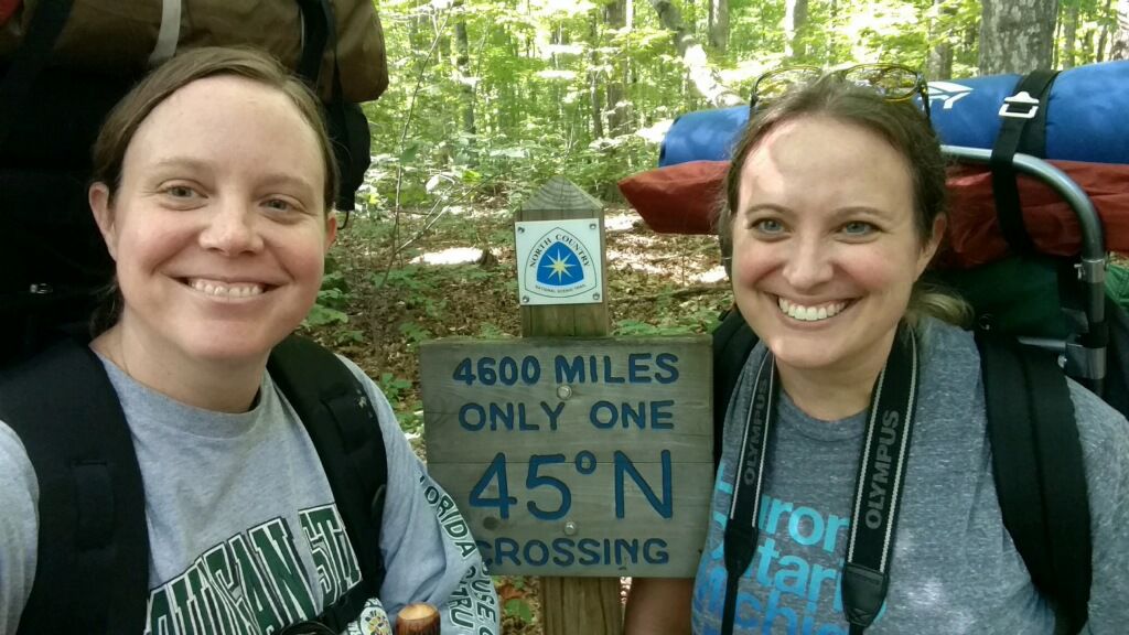
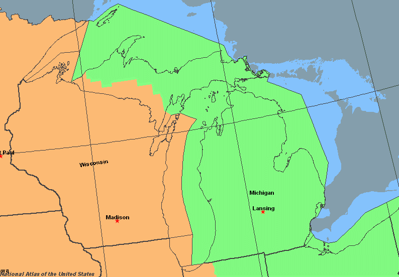
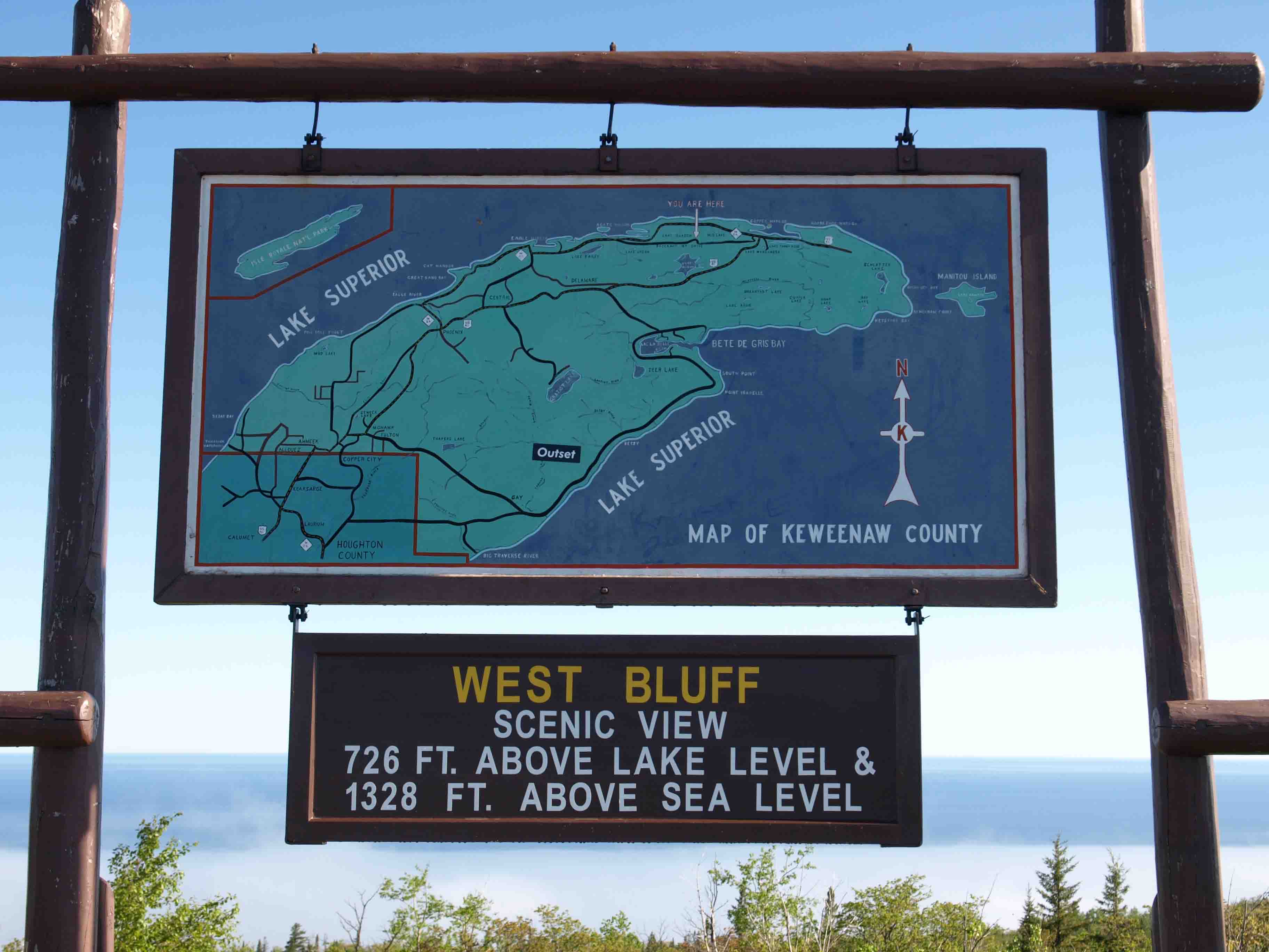
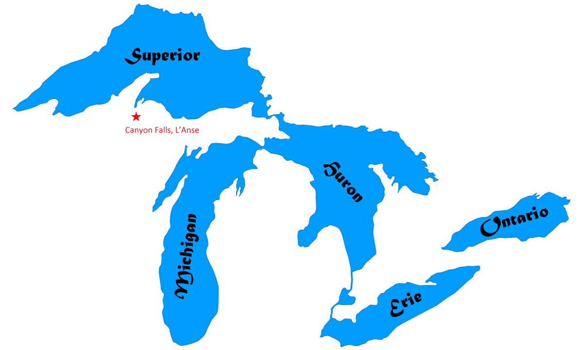
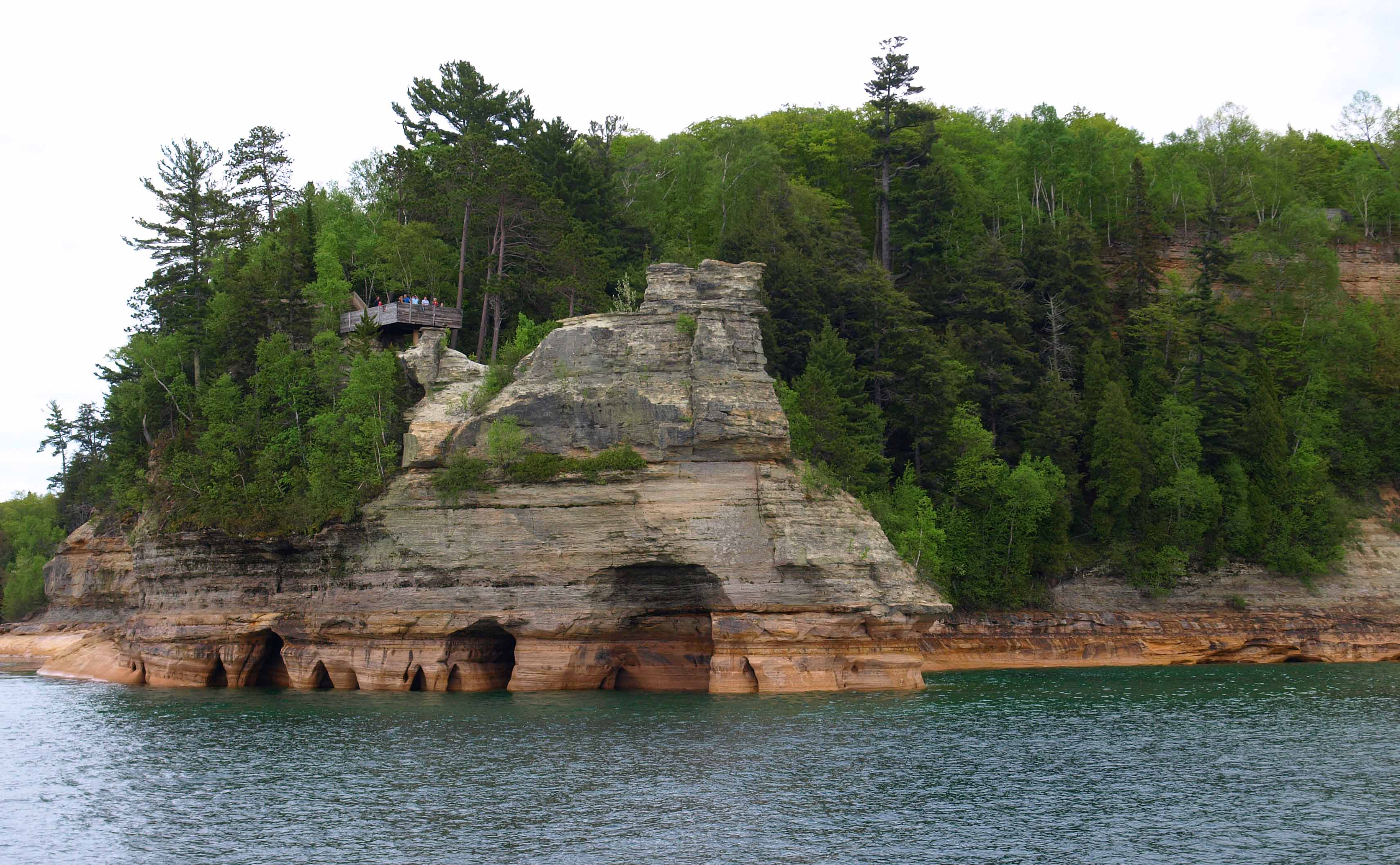
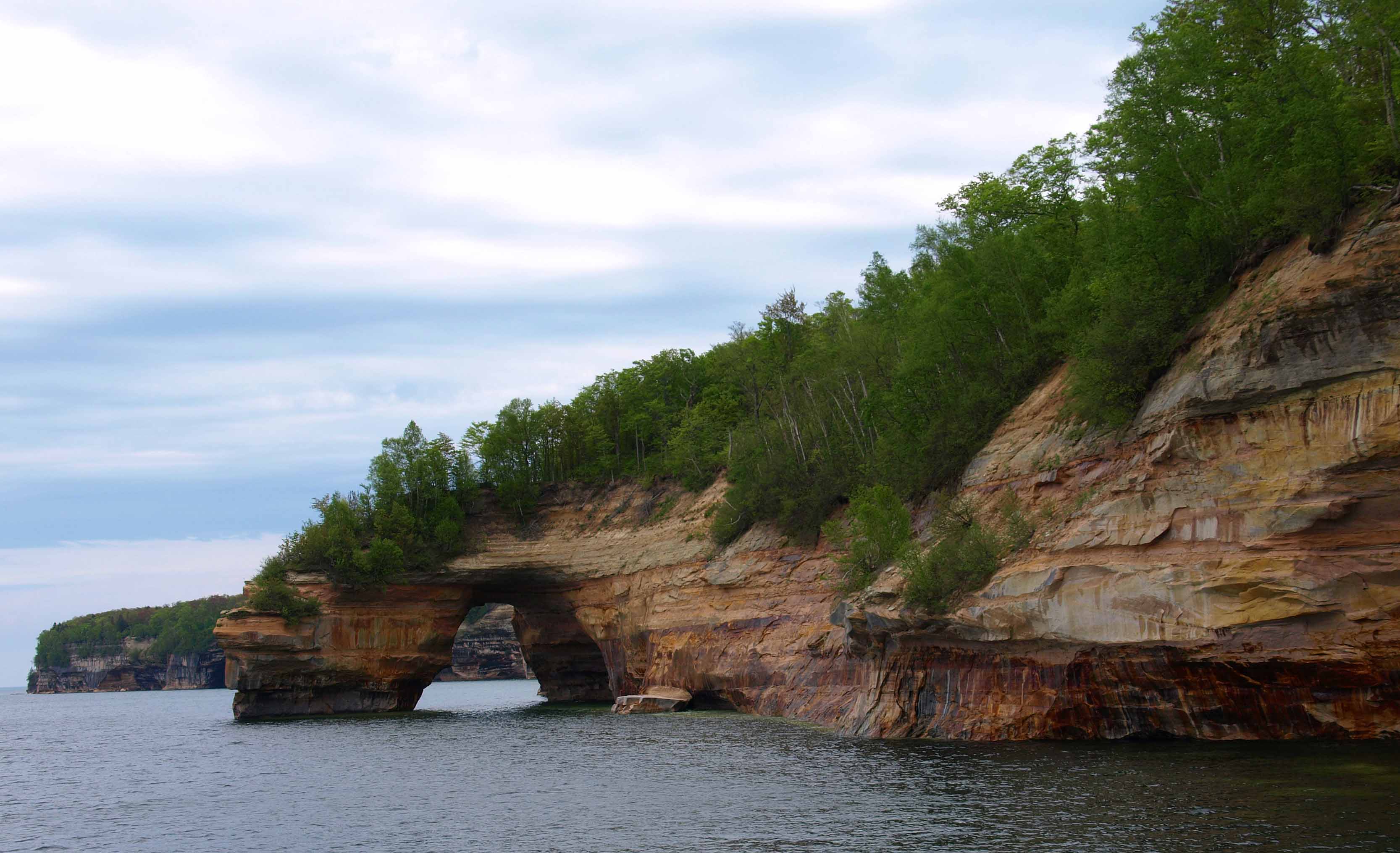
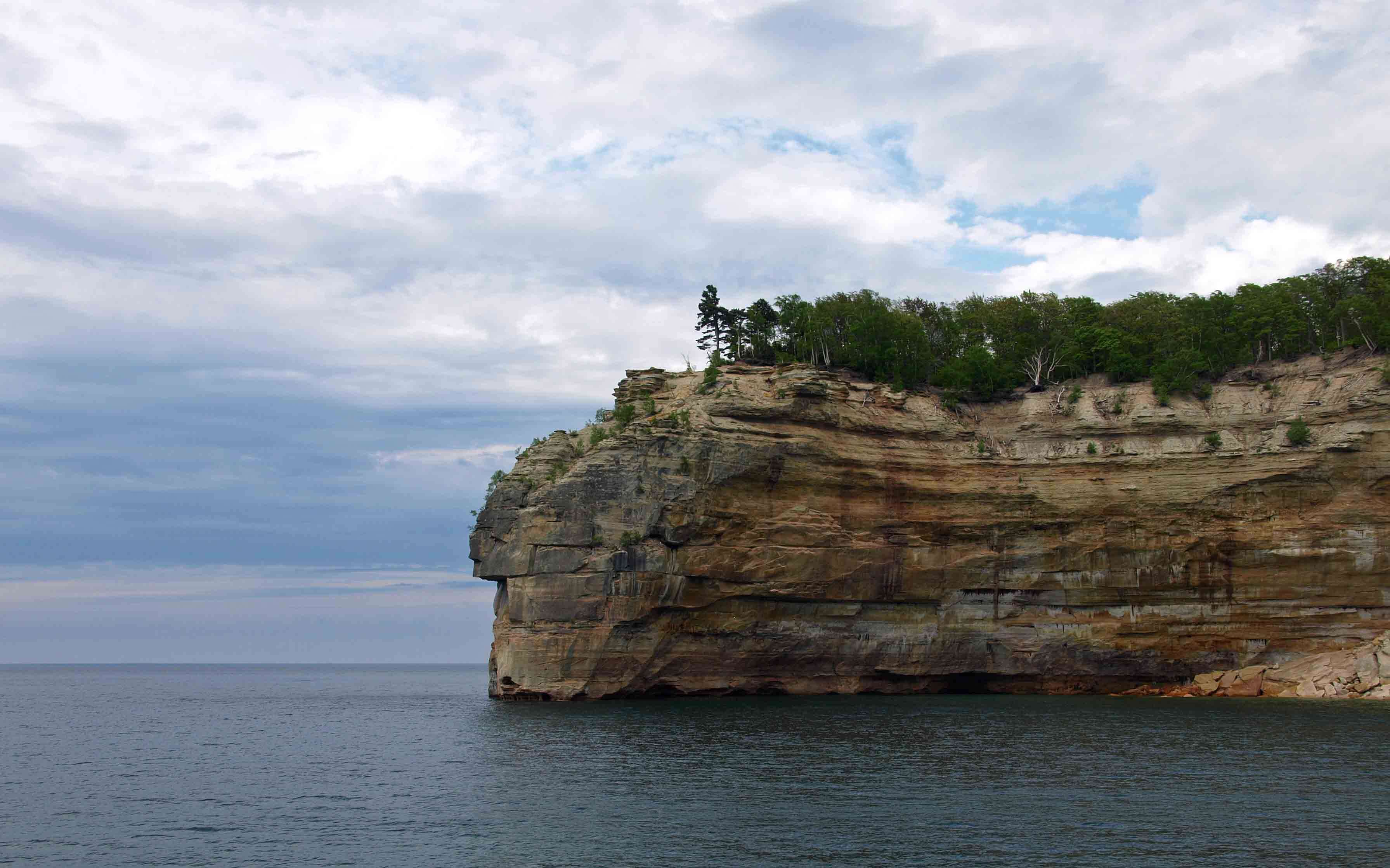
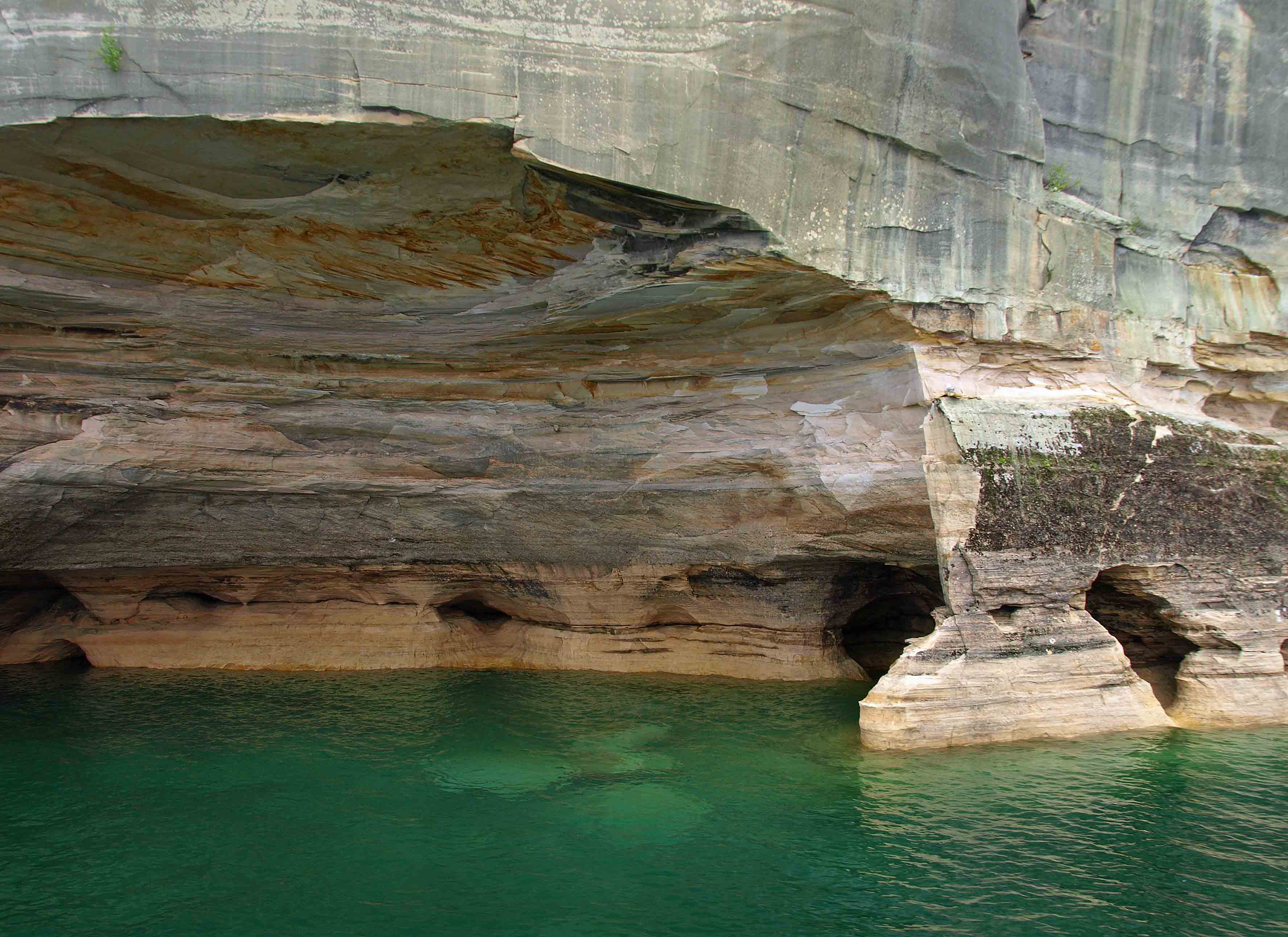
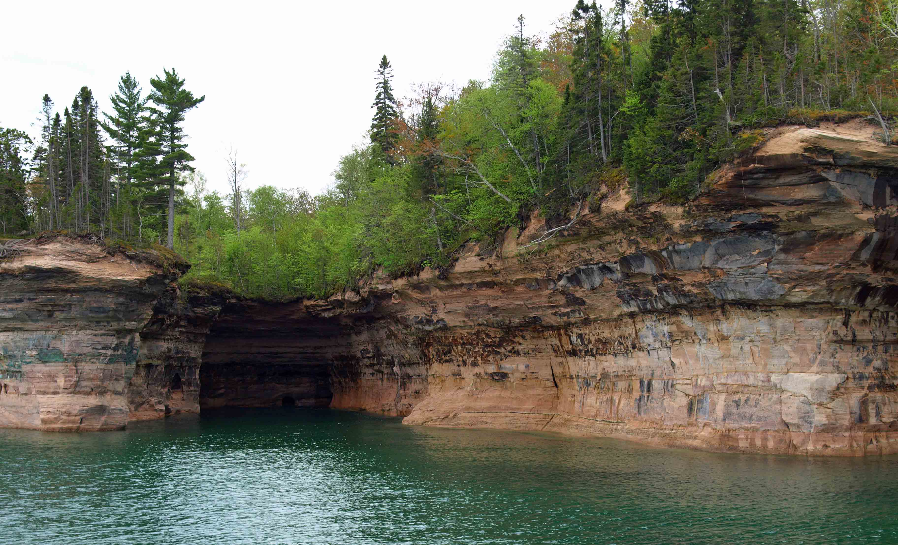
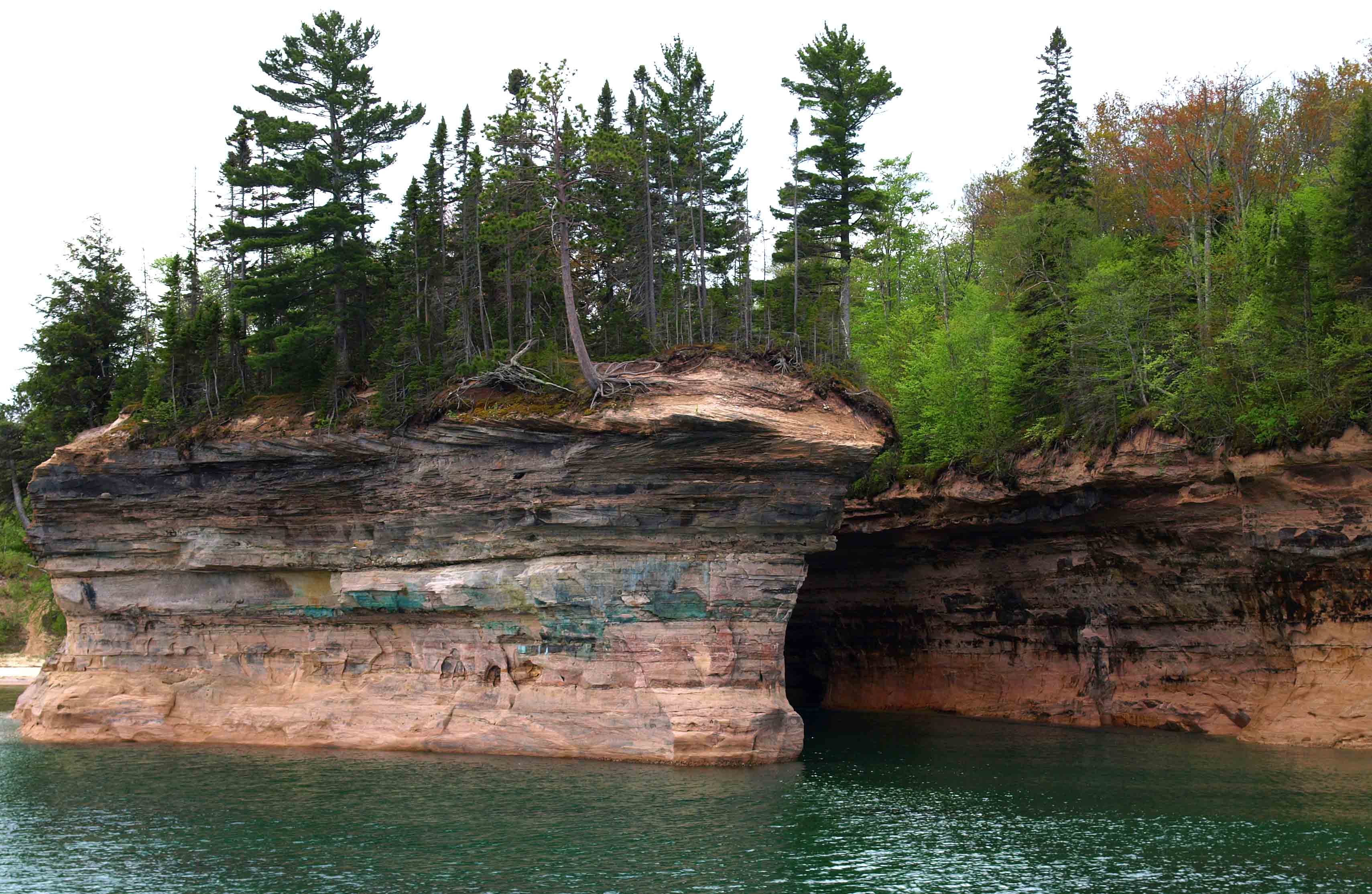
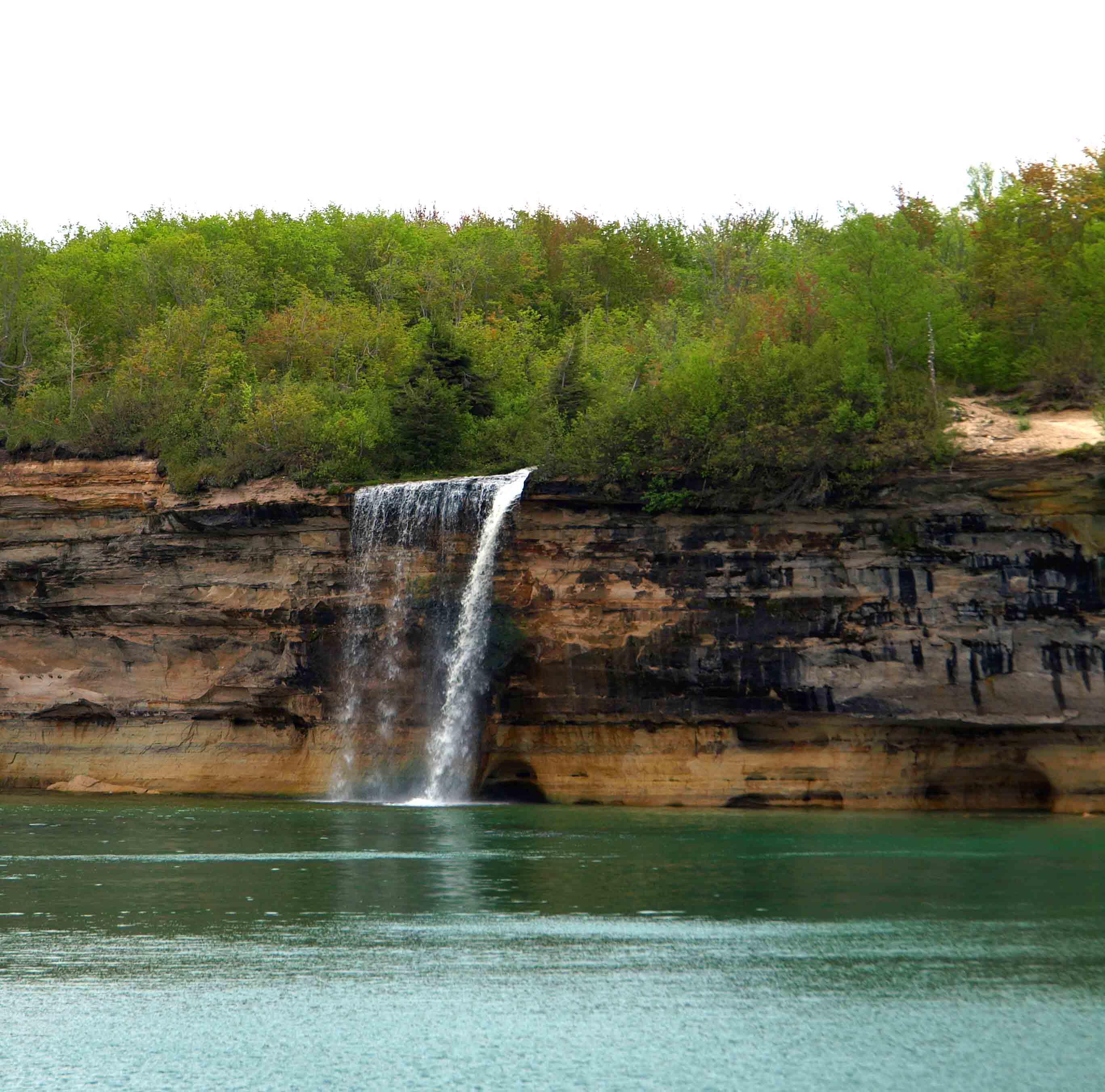
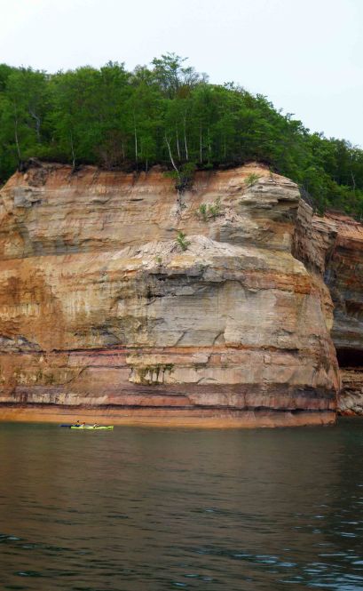
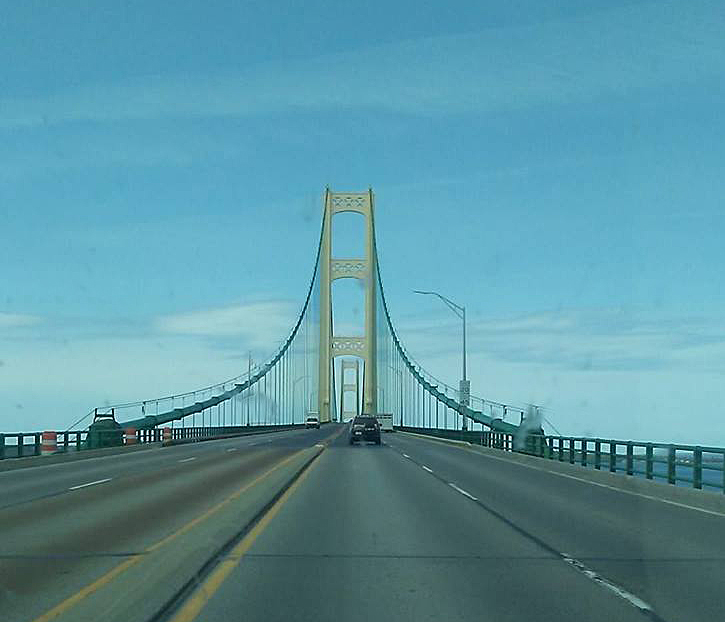
One of the coolest places my son and I went on our UP road trip back in June was the Keweenaw Peninsula, that bit of land you see jutting out of the Upper Peninsula (peninsulas within peninsulas!) and into Lake Superior on the map.

My son has long been interested in geology and rocks (as long as a child can have been interested in anything) and so I knew that our trip would have to include a visit to a mine up in copper country. The geologic history of the Keweenaw (pronounced KEE-wah-naw, not ke-WEE-naw) is such that rich deposits of copper (and also lots of silver) were pushed up by lava flows some millions of years ago and glaciers from various ice ages scraped away the rock that was holding these deposits down, allowing the land mass to rise and the copper to be accessed. Thousands of years ago at the end of the last ice age, ancient Native Americans were already mining for copper in the region.

In the mid-1800s, large-scale mining operations began in the region and gave rise to many towns that retain some fabulous architecture from the period, including Houghton (home of Michigan Tech University) and Hancock, which are a bit like Minneapolis/St. Paul in that they are divided by a river and it gets wicked cold and snowy in the winter (more about that later).

I loved Houghton. I wished I’d planned a few days there. I kind of wanted to live there. But maybe just in June. The architecture reminded me of my hometown of Bay City, which grew up around the same time, fueled by the lumber boom rather than mining.

Way, way up the hills on the north side of the Keweenaw Waterway is this massive structure…

Quincy Mine. Friends, this was one of the cooler things I’ve done in a while, and definitely a first for me. Operational for nearly a century, Quincy mine was one of the country’s most successful copper mines in the 19th century. At the time of its closure in 1945, it boasted the world longest mine shaft — 9,260 ft (or 1.75 miles!) — and it still houses the world’s largest steam powered hoist.

On site now are several original buildings, lots of ruins of old bunkhouses and offices, tons of discarded equipment, a very respectable museum, a great staff that leads guided tours both above and below ground, and the chance to actually go down into the mine. For which you must, of course, wear a hard hat and, because it is consistently about 48 degrees down there even on a hot summer day, a jacket…

You’re taken down a steep grade in a cog wheel tram, a kind of train that is on a chain that moves it up and down very slowly. Out the window you can see the Keweenaw Waterway, the Portage Lake Lift Bridge, and the town of Houghton across the water (the mine is in Hancock).

You enter at level 7 of the mine, which is the equivalent of a 30-story building underground — and there are nearly 90 more levels below you, which would be like a 400-story building. For comparison, the tallest building in the world, the Burj Kahalifa in Dubai, is 160 stories tall. If you put the world’s three tallest buildings (Burj Kahalifa, Shanghai Tower, and One World Trade Center, a.k.a., the Freedom Tower) end to end, you’d still be 250 feet short of the bottom.

Here’s a terrible photo of a very worn map of just the levels below the 49th level:

All of the levels below level 7 are now flooded because once the mine ceased operation they stopped pumping out the groundwater.

Level 7 itself is rather damp. You take a little motorized tram into the tunnel, which swiftly gets darker and colder. Engineering students at Michigan Tech have worked in the mine as a sort of living laboratory since the mid-70s, enlarging some of the tunnels, including the one we were in, and even carving out a classroom underground…

What’s really incredible about this tour is hearing how the miners worked. They started out working in three-man teams, with one man holding an iron spike and the other two taking turns hitting it, one and then the other for hours and hours, with sledgehammers. The holes they produced (see photo below) would then be filled with black powder (at first, and later dynamite), a fuse was lit, everyone ran like hell, and after the explosion they loaded the rocks into trams (like the ones in Indiana Jones and the Temple of Doom), which were pushed out by hand and loaded into buckets that the hoist would bring to the surface, which might be more than a mile above!

The really crazy thing? They did it by candlelight.

I would not want to be the guy holding the stake. Or any of the guys, really. Give me women’s work if I have to live in the 1800’s.

Later on the three-man team became a two-man team and they used cumbersome steam powered drills that took forever to move and set up. Eventually they had one-man drills, also cumbersome.

In the 20th century, the price of copper fell dramatically, so much so that it cost more to remove it from the earth than it was worth. All told, in 100 years, Michigan’s copper mines produced 11 billion pounds of copper.  Incredibly, about that much still remains underground! And though America still needs copper, we import it from China, where workers still mine it in the same way, with the same dangers, because it’s cheaper to use their labor than our own.

To get all that broken up rock out of the miles of tunnels in an efficient manner, you need a pretty powerful hoist. In 1918, Quincy Mine had one installed in this lovely Georgian style building meant to impress investors.

It was attached to the largest concrete slab ever poured up to that time and powered by steam, pulling cables at 36 mph around an enormous drum.

I did not think I could be interested in a steam hoist and the erstwhile largest concrete slab in the world, but the woman giving the tour made everything interesting. And just look at that cool spiral staircase!

This gargantuan structure was a relatively good investment because it made the work progress faster and saved tens of thousands of dollars on fuel every year. But sadly the hoist was only in operation for eleven years because, you guessed it, the Crash of 1929 had a profound effect on the mining industry. Many mines, including Quincy, were shuttered and then resurrected briefly to support the war effort during World War II.

I feel like we were only able to scratch the surface of an incredibly rich vein of history (see what I did there?) while we were on this tour, and I would love to go back to the Keweenaw in the future to learn more and explore more thoroughly. But on our epic road trip, we didn’t have time for side distractions. After dinner we headed further north because hey, once you’ve driven this far, it would be a shame to not just keep going until you run out of road.

So that’s what we did.

On our way up US-41 to Copper Harbor we passed this marker, which records the record snowfall of the winter of 1978-79 — a whopping 390.4 inches — and marks the most recent winter’s snowfall — 2016-17 had 23 feet. This is why I’m not so sure I’d want to live in Houghton year round.

I think that on the hour’s drive between Houghton/Hancock and Copper Harbor I may have seen six other cars, all of them going the other way. There were a few minutes there I thought, “I have no idea where I am. I’ve never in my life driven on this road before. I am farther north than I’ve ever been in my life. What if Copper Harbor doesn’t actually exist?”

It’s unnerving being the only adult driving in a strange and remote place with your son in the backseat and no cell service or passersby if something went wrong. I had gotten a similar feeling when my sister and I were hiking a very empty Tahquamenon Falls State Park a few years ago. Just goes to show how sheltered and routine-driven a life I lead. I mean, I knew where I was intellectually. I could point it out on the map. I wasn’t lost. But I felt so very, very far from anything and everything.

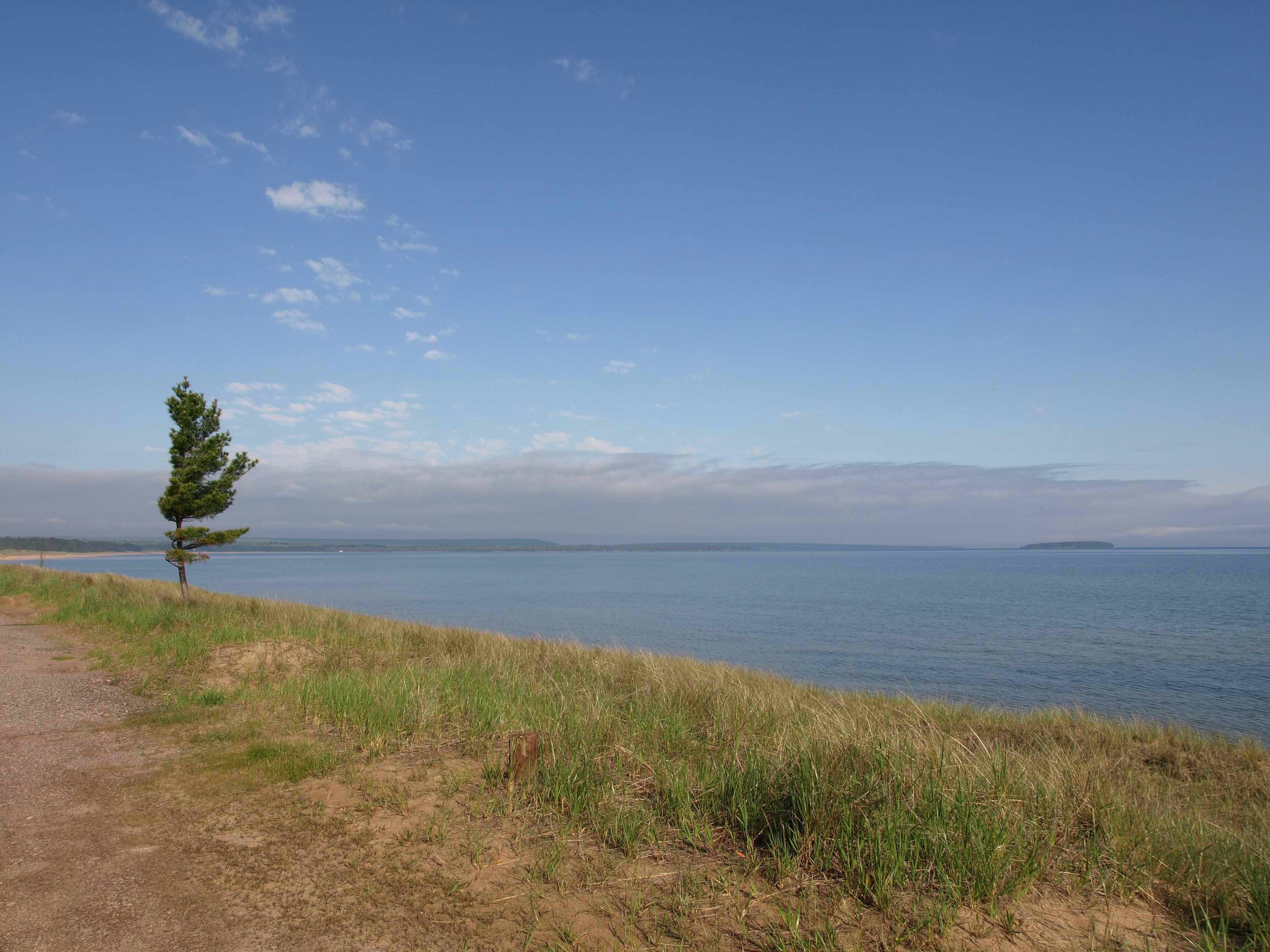
When we rolled into Copper Harbor it was far smaller than I expected.  I don’t know why. I knew from previous research that there were only about 30 full time residents and only a few motels. Still, it was so small. It has an honest to goodness general store run by a man who looks like Sam Elliott’s long lost brother. And the motel proprietor had a thick Yooper accent which, inexplicably, my son could not distinguish from the way we talk.

I could imagine myself living there, with nothing to do but read and write and kayak on Lake Superior. My son could not.

We stayed in the Bella Vista motel. And the vista out our back door was indeed bella.

This is the tiny little harbor from which the ferry takes passengers to the real northernmost point in the state of Michigan: Isle Royale National Park.

It’s that long, skinny island you can see in this mid-century print above our motel nightstand, which I am near certain was an original decoration when the motel was built, not added in a post-Mad Men attempt to be kitschy. It’s sitting just north of the S in Superior. Above that is Canada.

That far north, it didn’t get fully dark until nearly eleven o’clock at night and dawn came before six the next morning. During that fleeting night, I dreamt about walking out the sliding glass door and seeing the Northern Lights. My heart aches a little that it was only a dream.

The next morning was cold and foggy and perfect. Men in long canvas pants and hoodies and heavy jackets readied the ferry to take a few passengers to Isle Royale.

And I kind of wanted to stay there forever.

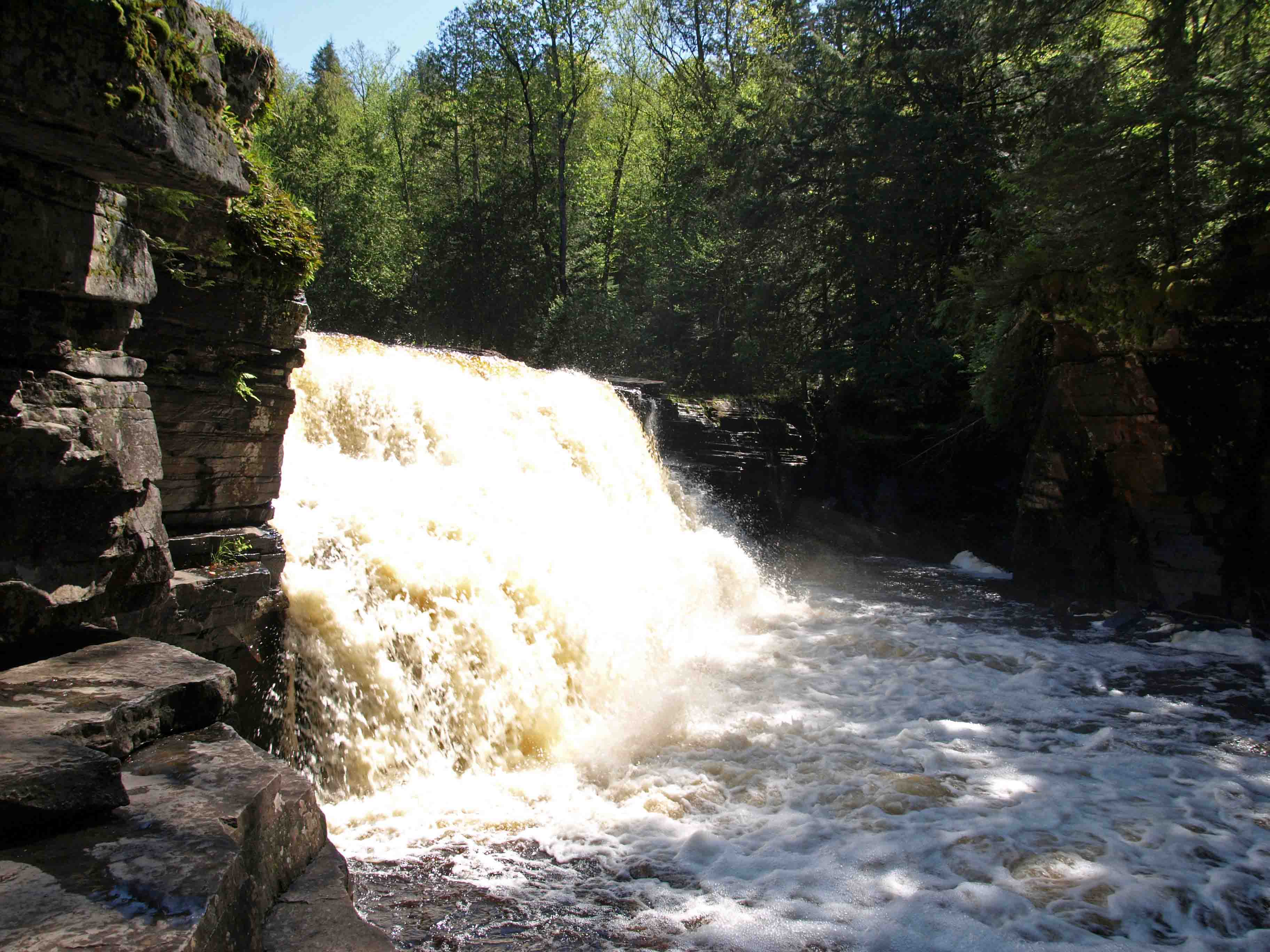
But there was something even more tantalizing than a lazy harbor awaiting me and my son that day. We were headed south and west . . . into iron country . . . into an ancient mountain range within 60,000 acres of protected wilderness occupied by moose, wolves, coyotes, bobcats, lynx, river otters, and black bears. And, of course, porcupines.

We were headed for the Porkies.

A Changing Landscape and a Hidden Waterfall

On a Sunday morning in early June, my son and I left Munising after breakfast at Bay Furnace Bagel to head to parts west.


It was tremendously foggy and cool for the first fifty miles between Munising and Marquette, but not so foggy I didn’t realize how lovely it would be to live on Lake Superior near the town of Au Train.

The fog lifted and I pulled over for a few shots of Superior.

It is a road trip, after all, and the scenery along the way is half the point.

Around Marquette and beyond, the landscape of the Upper Peninsula begins to change from dairy farms and scrubby wetlands to hills with imposing outcroppings of rock, reminiscent of the foothills of a mountain range.

This is copper country and iron country. And indeed it is part of an ancient mountain range, the Porcupine Mountains, which we’ll get to by and by.

There’s no where else in the state of Michigan quite like it. It reminded me at times of the drive from flat Denver to the foothills of the Rocky Mountains. Except everywhere there is water. Rivers, creeks, wetlands, waterfalls, a Great Lake, and inland lakes.

One can spend too long in a car, especially when one is nine years old.

Time for a short hike along the storied Sturgeon River to find a waterfall…

The boy has discovered that he loves climbing and leaping around on rocks. Finding such things to climb and leap on was his singular focus in the western UP.

He’s also found that he loves rushing rivers and rapids, the sounds of which we normally don’t hear in the flat, lazy middle of the Mitten where rivers take their time over riverbeds of muffling sediment.

It’s possible he may have gotten tired of my continual admonishments to “be careful” on the sometimes slippery rocks.

We found Canyon Falls at the end of about a 1/2 mile trail. I allowed the boy to come around the fence and down a bit into the gorge for a closer look at these falls, which are tucked away below the trail.

But I didn’t let him get quite as far down as I went to get the best view inside the little “canyon” where they empty out.

After all, one has to have some sense of limits. Even when it is clear that one’s son is busy testing his.

In case you’re wondering where to find these falls, you’ll want to head toward the red star off Highway 41, seven miles south of L’Anse.

The Unsurpassed Beauty of Pictured Rocks National Lakeshore

You almost don’t need words with a landscape like this, but I’m going to provide some anyway so you know what you’re looking at.

Pictured Rocks National Lakeshore is on the south shore of Lake Superior between Munising and Grand Marais. And if you ever find yourself planning a trip to the UP, a Pictured Rocks Cruise or kayaking tour should be on your MUST DO list. There are only a couple features that are visible to the drive-in tourist, more for backpackers and hikers. But the most impressive features of this 43-mile long stretch of sandstone cliffs, arches, and caves cannot be seen unless you are out on the big lake.

Battered by wind and waves, the shoreline varies between sheer cliffs, pockmarked with caves, and idyllic sandy beaches and inviting waterfalls. And every so often, a “picture” in the rocks–a structure or illusion that suggests an object, like finding shapes in the clouds. One of these is Miner’s Castle (below) which you can drive to easily but which, in my mind, is far from the most impressive or exciting.

In addition to the “pictures” (which we’ll see a lot more of below) the cliffs are “painted” by minerals dissolved by underground springs and streams of water that then drip down the sides of the sandstone. The color indicates the mineral: white is calcite, orange is iron, gray is dolomite, blues and greens are copper, black is manganese.

The various points have colorful names, such as the arch below, which is called Lover’s Leap. Our guide on the cruise reminded us that it was not such a great name because if you take a flying leap into the lake from this point it is into only about four feet of water. So maybe this is for jilted and suicidal lovers only…

Things can change quickly though. Our guide pointed out a sandbar to us, saying, “If you were to stand on that sandbar where you see the water looks more brown, you would be in water up to about your waist. One step closer to the boat where we are now and you’d be in 65 feet of water.” Superior is beautiful, yes, but dangerous when you don’t know what you’re doing.

Probably not all of the caves on the lakeshore have names, but this one does — Rainbow Cave, for the streaks of minerals on the walls and the turquoise water.

When I took this cruise as a child, this point of land was called Indian Head. Our guide this time around was careful to be PC about it, but its name is certainly no insult. The Native Americans who fished these waters called this rock the Gitchee Manitou, or Great Spirit. They saw themselves in its strong jaw and nose, its sloping brow, and its steadfastness in the storm.

Someday I intend to kayak Pictured Rocks, if only so I can slip into places like this to see how far back those caves go…

Sometimes a single cliff or point is not enough to make a picture, but a series of them is. This is Battleship Row, where five or six points of land at the right angle look like a fleet lined up at port.

The winters are long in the UP and the gales off of this inland sea are powerful enough to sink freighters, as any Gordon Lightfoot fan knows. So I always like to see trees that hang on despite adversity, like this pine gripping the side of this cliff.

Can you see the goblet or vase in the rocks below?


How about a set of sturdy bear or elephant legs?

A pirate’s face below a gray tricorn hat? (Barring that, you might at least see a set of very round eyes and a rabbit-like nose perhaps?)

This tight cove is Chapel Cove, and the interesting thing here is better viewed in the second picture.

This is the spot with the most copper coming through, as you can see by the deep teal about halfway up the rocks.

Just beyond Chapel Cove is Chapel Beach and Chapel Falls, both accessible by car and a short walk.

And then the feature which is almost everyone’s favorite: Chapel Rock.

It may not be wholly obvious from that first picture that there is indeed a white pine tree (our state tree) atop the rock. And even if you caught that right away, it may be tough to tell just how it can live on a rock that is almost completely separated from the mainland. The photo below reveals the mystery.

A thick tangle of roots, which had developed at a time when Chapel Rock was still an arch and connected to the rest of the forest, is that tree’s main source of water and nutrients from the soil. Tenacity. You need it to live in such an unforgiving place. Incidentally, in what can be a very difficult and sometimes treacherous trail that forces the hiker to the very edge of unstable cliffs in this stretch of the North Country Trail, the only fences the National Park Service has constructed are those protecting this feature (and Miner’s Castle) from people who might otherwise trample and climb and damage it.

If you take the longer cruise option, you will get to see Spray Falls, which empties into Lake Superior and can only be seen from the water. In late summer during a dry year, this waterfall may not be flowing at all, so go in June.


Another waterfall you can appreciate from the lake is the lovely Bridal Veil Falls…

And just in case the scale of these features has eluded you…see those kayakers?

On the way back to port the boat swung by Grand Island and the East Channel Lighthouse, which opened for service in 1868.

The island is used largely by sportsmen, tourists, and hikers, but there are a few houses on it. The summer residents of these houses have no plumbing and no electricity, and they are the keepers and restorers of the lighthouse, which hasn’t been in service since 1913.

For days when I asked my son what his favorite part of the trip so far had been, he’d say it was the Pictured Rocks Cruise. His answer would change later, but that is another post for another day…

Just trust me and put this on your bucket list.

Returning to Pt. Iroquois

Our first stop on Saturday was to Pt. Iroquois, the site of lighthouse, modest museum, and gift shop today, but significant long before to the Native Americans who lived there.

The following comes from the Pure Michigan pages for Sault Ste Marie area attractions.


The area around Sault Saint Marie (“The Soo”), including Whitefish Bay, has been called the “Heartland” of the Chippewa Indians. This tribe is also called Ojibwa, and sometimes refer to themselves as “Anishinabeg,” which is their word for “original people.” The Iroquois lived about 400 miles away, mostly in what is now western New York. In the 1600s these nations were at war, at least in part because of European influence and fur trade competition. The Iroquois often sent expeditions far from their homeland and attempted to control the trade routes leading east from the Great Lakes.
Accounts of an important battle at Point Iroquois in 1662 have been passed down for over 300 years. They tell how an Iroquois war party camped near the point where the lighthouse now stands, and how the Chippewa secretly watched their movements and mounted a surprise attack near dawn. The Iroquois were defeated decisively, and apparently never again ventured this far west.

Click here for more about the light itself.

As you can see, though it is certainly summer weather-wise in the southern Lower Peninsula where I live, it is still spring up in the UP. Many trees are still flowering or just pushing out their leaves and the weather was cool and breezy and marvelously sunny most of the time.

The boy and I climbed the 72 steps up to the top of the lighthouse.

But we spent most of our time on the beach looking at, collecting, and throwing stones.

One of the things I love about Lake Superior are the stony beaches that offer up a kaleidoscope of rocks to admire through the crisp, clear water.

My son and I had been here before, eight years ago…

…but of course he didn’t remember it. The beach was a bit stonier then. And it’s likely that the water is a bit higher now as Superior’s levels are close to the record high at the moment, courtesy of some extremely cold and snowy winters that helped reverse the effects of a few dry years over the Great Lakes Basin.

Lakes — and boys — can change a lot in eight years.

Let the Adventure Begin…

I have long wanted to see more of Michigan’s Upper Peninsula than the eastern end I have been fairly familiar with through a childhood trip, a mission trip with our church’s youth group, and three hiking trips with my sister (you can find out more about the hiking trips by poking around in the earlier years of this blog). And I have been keen on getting my son up there while he is still young so that he can fall in love with it as much as I have. So when it was decided that my husband would be going to Israel for ten days I thought that was the perfect time to plan a road trip. I didn’t want us to be stuck at home for ten days without Daddy, bored and lonesome. Much better to distract ourselves with some of God’s natural wonders — and with some of man’s innovations to navigate and utilize those natural resources.

On his last half-day of school on Friday, we headed north over the Mighty Mac to go exploring…

The first stop on our whirlwind tour of the Upper Peninsula (hereafter referred to as the UP — that’s U-P, not “up”) was Sault Ste. Marie (pronounced Soo-Saint-Marie) to visit the Soo Locks, which allow commercial shipping between Lake Superior and the rest of the Great Lakes, and, by extension through the St. Lawrence Seaway, the rest of the world. Here’s where you’ll find them:

Sault Ste. Marie is a rather industrial little town, not “pretty” by most standards, but it has a charm all its own. Growing up in the Bay City area as I did, I tend to like anything to do with boats and shipping. The Saginaw Bay and Saginaw River (which you will find between the Thumb and the rest of the Mitten in the map above) have been important shipping channels for generations. Though downtown Bay City is getting a face lift — the mountains of gravel and big cranes are giving way to new loft housing and a revamped riverfront — the sailboats and freighters and drawbridges are all still there. And now that I’m rather landlocked in the middle of the state, I get a bit of a thrill to see something like this:

That is the Lee A. Tregurtha coming in from the Huron side to pick up iron ore pellets from a Minnesota port on Superior. Huron is the lower of the two lakes, so once this beast gets into the lock, the water level will be raised (powered only by gravity and strategically opened and closed valves) to the Superior level, which takes 22 million gallons of water. Then the doors on the Superior side will be opened and the ship will go on its way.

This spot used to be solely rapids and had to be bypassed on land, which limited what you could ship. Native Americans and French voyageurs and fur traders had to lift their canoes and boats out of the water and carry them to the next lake. Now 7,000 boats and ships pass through the locks each year carrying an average of 80 million tons of cargo.

The long elevated bridge you can see in the next photo is the bridge to Canada, and there are also locks on the Canadian side.

Being so close to Canada, you may see signs like this on local businesses:

Growing up on the east side of the state, we regularly used Canadian coins interchangeably with American coins when they showed up in our pockets. No one ever questioned it. Then when I moved to the west side of the state in college and tried to use a Canadian quarter, the clerk treated me like I was a criminal trying to pull one over on her. She didn’t even know what she was looking at. I was quite taken aback.

But then, Michigan is a very large state, as my son and I found out! More about our adventures in the coming weeks, but in the meantime click here for more interesting facts about the Soo Locks, along with a good aerial shot.

One Small Taste of Coming U.P. Delights

My son and I have just gotten back from an epic trip around Michigan’s Upper Peninsula. I have more than 500 photos to wade through and edit, and I’ll be sharing them in this space over the coming days (maybe weeks!) so stick around!