Ack! Where has summer gone? And how am I still blogging through photos I took during the very first week of summer vacation?!
It doesn’t seem possible that school has started and temps have dropped to a pleasant 70 degrees and trees are already showing signs of autumn, but there it is. A busy summer of travel and writing pushes out time for photo editing and blogging.
One nice side effect (for me and only me) of taking this long to get through my U.P. photos is that I’m slowly remembering and reliving the trip, which I assume can only aid my long-term memory of it. 🙂
But you, poor reader, have been deprived, left hanging and wondering, “Well, then what?”
Finally, I give you the answer. The Porkies.

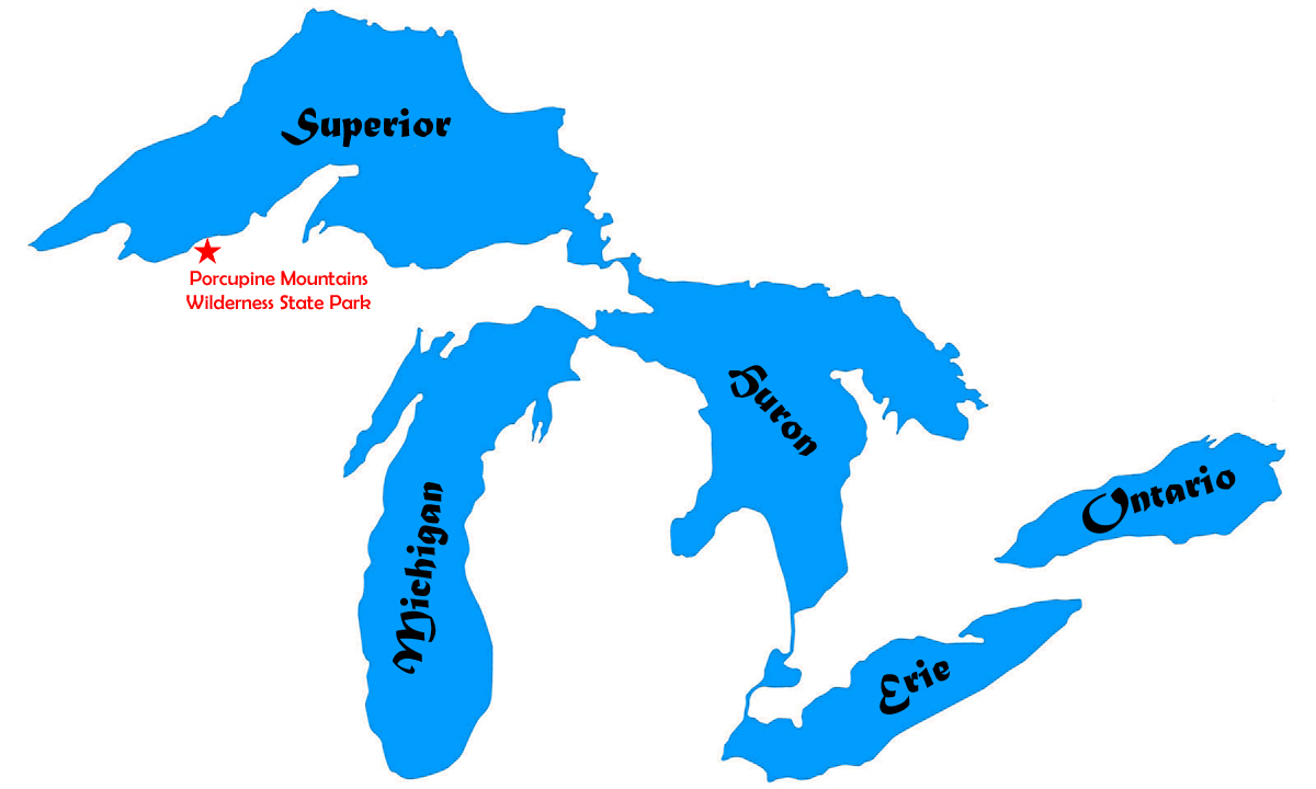
The Porcupine Mountains are not impressively high for someone with a view of the Rockies, but for a Michigander who has lived most of her life in the flat, farmland-heavy lower half of the Lower Peninsula (and her son who has lived all of his life there) the Porkies were a treat.
You’ll find them way over on the western end of the Upper Peninsula, the furthest west we got on our trip.

Go much further and you’re in Wisconsin. Much further than that and you’re in Minnesota. In fact, on a clear day like the one we had, you can actually see both Wisconsin and Minnesota from the observation tower at the top of Summit Peak — which was, for some time, thought to be the highest point in the state of Michigan. It is not. Unless you count the 40-foot tower they built on top of it.
Our first stop was the ranger station to check in to our campsite. Then a second ranger station to check our firewood. And then to the Lake of the Clouds.

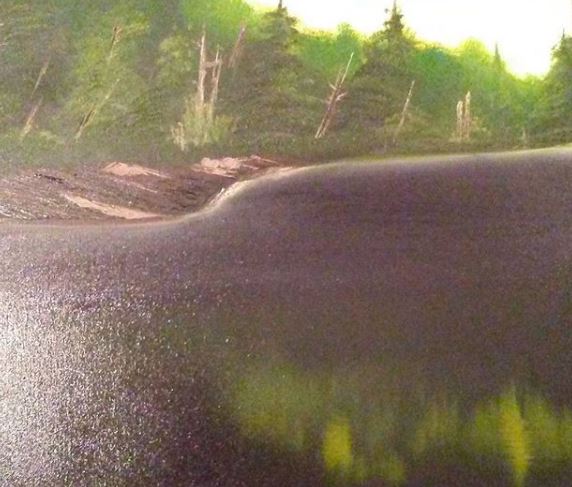
This large lake fed by the Carp River is 1,076 feet above sea level and, eventually, the water here makes its way down into Lake Superior, the largest body of fresh water on earth. Around the same time we were visiting the Lake of the Clouds, my husband was visiting the Dead Sea 1,412 feet below sea level, which is one of the saltiest bodies of water on earth, and which does not feed into anything.
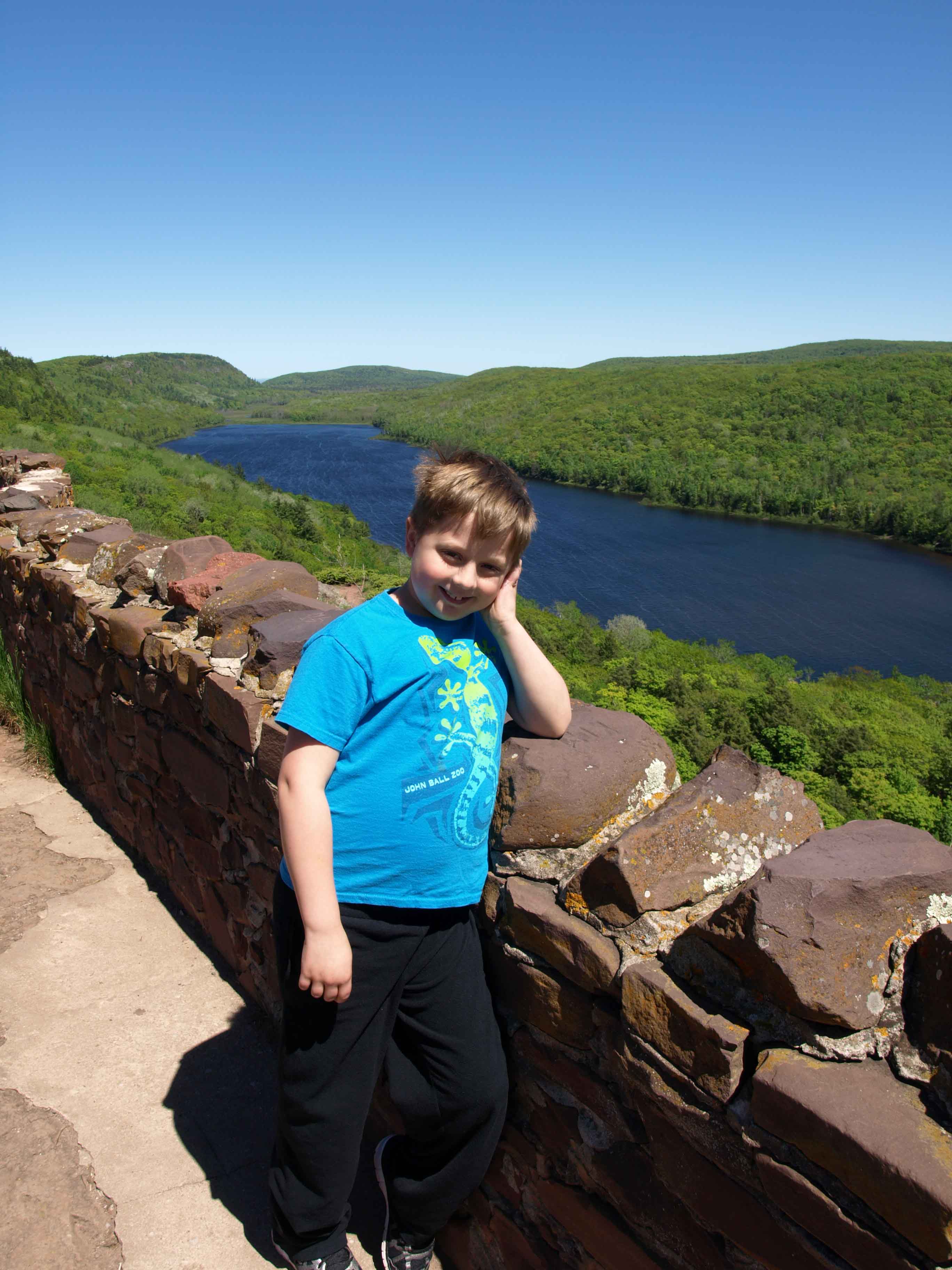
The boy reveled in leaping around the large rock outcropping.

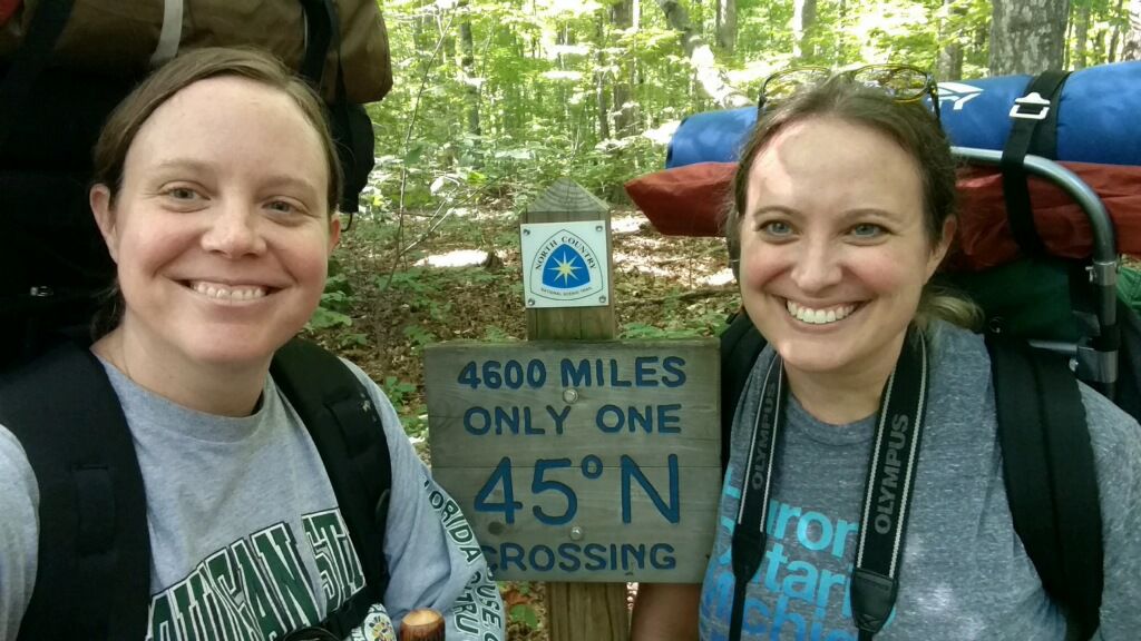
Though I did get him to stand still for a moment to take a selfie with me.

It was très windy up there, but warm in the sun. I think both of us could have stayed up there most of the rest of the day.

Here’s a shot of the Carp River winding away (or toward, I don’t know) the lake.

I simply MUST get back up here some autumn for the fall color.
We ventured down the trail a little way to get another angle before heading to Summit Peak. Here’s where we had just been standing.

Believe me when I say that this is truly impressive for Midwestern Standards. 🙂
The Porcupine Mountains are part of a very old mountain range (some say 2 billion years old…but I don’t know enough about that to comment) formed in part by midcontinental rift and volcanic activity, and later by the action of glaciers during various ice ages (more about the geology of the range here). With around 90 miles of hiking trails and covering an area of more than 47,000 acres, it is, according to the DNR, “one of the largest relatively undisturbed northern hemlock-hardwood forests west of the Adirondacks.”
What’s nice about the Porkies is that you can visit nearly all of the big attractions by car and short hikes. Which is good when you have a nine-year-old boy in tow.

And since it takes so long to drive there, you’re more than ready to get out and do a bit of walking and climbing of steps once you get there!

This is atop the tower on Summit Peak (1,958 feet + 40 for the tower). That’s nothing compared to Mount Mitchell in North Carolina at 6,684 feet (the highest point in the Appalachians) and falls even further behind when you consider Mount Elbert in Colorado at 14,440 feet (the highest point in the Rockies) or Aconcagua in Argentina at 22,837 feet (the highest mountain in the western hemisphere). But hey, it’s what we’ve got.

And the boy and I thought it was beautiful. From up there we could see Lake Superior, the Apostle Islands of Wisconsin, and a thin line in the far distance that I have to believe may have been Minnesota. At least, that makes sense thinking of the map.

Eventually, we came down from the mountain and drove to our campsite on the far western end of the park at Presque Isle State Campground near the Presque Isle River. We set up the tent, brought out the hot dogs and s’mores ingredients we’d been keeping cool in the cooler for days, and built a fire.

This became the boy’s favorite part of the trip, bumping the Pictured Rocks Cruise out of the top spot.

It was going to be in the 40s that night (around 7 degrees Celsius for my international readers) so I let the boy use my new sleeping bag, which is rated for 5 degrees Fahrenheit. I used one of the old sleeping bags and added a heavy quilt, something you can’t do when backpacking!

We finished reading our book (we’d been reading Prince Caspian in the Chronicles of Narnia series every night — we’re currently on The Last Battle) and then broke out some of the Michigan-specific picture books I’d brought along, including Mackinac Bridge by Gloria Whelan and The Legend of Michigan by Trinka Hakes Noble, both of which are fantastic and both of which had been given to the boy by friends of ours when he was very small.

And we watched the sun sink into Lake Superior just a dozen or so yards from our tent.
The next morning I checked my phone for the time and groaned to see that we were both up at 5:30 am. But hey, an early start when you have 5 to 6 hours of driving is good, right? We had a quick breakfast of granola bars and fruit and packed up the car. When we were driving away from the campsite, the clock in my car and the clock on my phone were an hour off of one another. It was only then it hit me that we were in a different time zone!
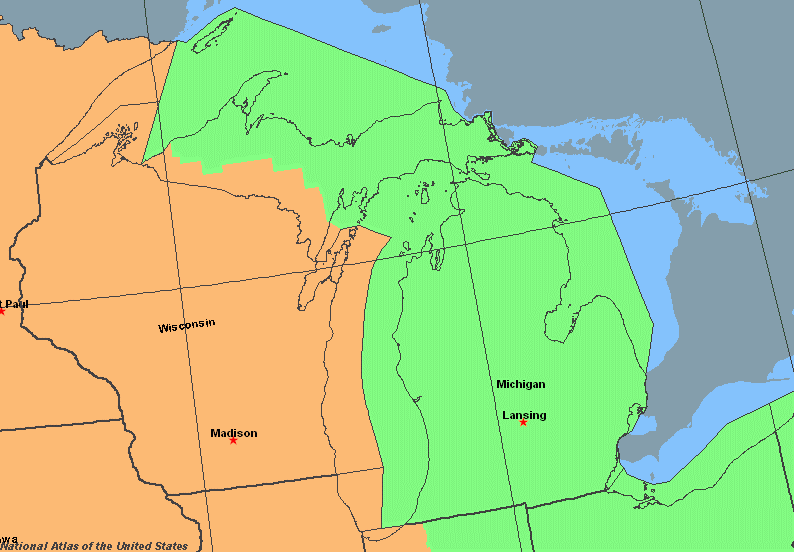
Turns out, the counties bordering Wisconsin are on Central Time. In fact, I was so far west that if I went far enough south from that spot, I would nearly hit Iowa and would go through St. Louis, Missouri; Arkansas; Memphis, Tennessee; Jackson, Mississippi; and end up in New Orleans, Louisiana. Which seems crazy to me. I’d cross the Mississippi River at least twice.
Much of the rest of the day, I would be in the Central Time Zone. And though later I would drive past signs telling me I’d now entered the Eastern Time Zone, it seemed like some towns disregarded that and kept Central Time.
But before our big drive, I wanted to see a few more waterfalls. And that’s what I’ll be posting about next time. In fact, the whole next day was all about water…


You must be logged in to post a comment.