Day two of hiking the Jordan River Pathway started well. Because we hadn’t been overly ambitious the first day, we were both feeling good the next morning and ready to take on the day.
The weather was nice and cool. The path was rather flat, which is good on the knees and the balls of one’s feet, and on this side of the river there continued to be good scenery and good conversation.

We were even treated to a few overlooks, which we hadn’t really had on the other side of the river.

There was that moment the trail got lost in the overgrown raspberry canes and asters, which were still wet with morning dew, which (the dew) quickly found a new home in the fabric of our pants, which (the pants) became exceedingly cold and heavy until they dried.
But that’s okay. There were signs of fall to admire, like the sumac changing color.

And there were pretty woodland flowers.
And there was more Indian Pipe, this time in a big clump.
We lunched at the riverside, happy to be rid of our packs for a spell and to feel the cool breeze on our sweaty backs. In fact, it soon got so chilly I draped my sweatshirt around my shoulders. It was the last time I would feel cool until we were in the car, blasting the air conditioning.

We did get to walk through my favorite kind of woods — tall deciduous trees with little undergrowth where you can see for some way.

And there was a huge open meadow as well, bouncing with grasshoppers.

Though the afternoon with no shade was rather hot.

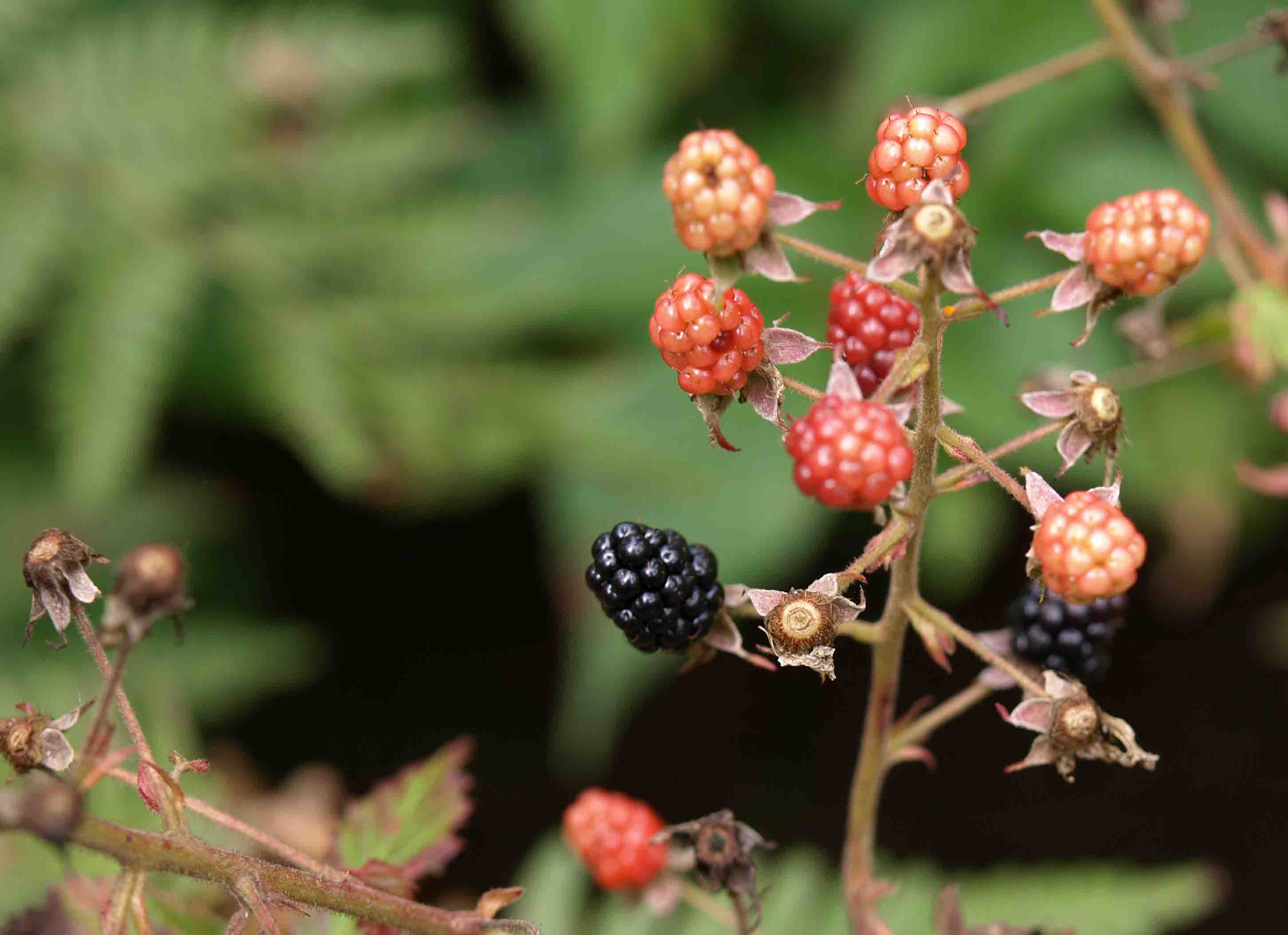
We passed and sampled some wild blackberries.
And then things got soggy. We were headed down to the river again and toward some wetlands where there was a nice, flat boardwalk before our final climb out of the valley and into the car.

Or rather there should have been a boardwalk. There used to be a boardwalk. But, as is their wont, rather than fix it when damaged, whoever keeps this trail up thought it would be easier somehow to cut a detour. Which meant more distance and a lot more up and down hills. And, since it was newly cut and not well-trodden, lots of tiny stumps and roots and rocks to trip on at the end of your hike when you are already exhausted.

And so this is the last photo I took. After that, the heavy camera went in the pack and we trudged on. And on. And on. Until what should have been an 8.4 miles hike according to the map became more than 11 miles according to my FitBit.

The last hill was absolutely endless, and we were the only ones taking the trail “backwards” as one person put it, so we continuously passed fresh, clean, bright-eyed people with their intrepid dogs as we slogged our way out of the valley.
There was more to our trip than I’ve shared so far, but that will keep until next time…

You must be logged in to post a comment.